PR 7 : Au fil de l’eau
Champs-sur-Tarentaine-Marchal
Description
A hike starting from Champs-sur-Tarentaine-Marchal that takes you along the slopes of the Tarentaine valley, a wild and tumultuous river rich in fish.
The Tarentaine rises on the south-western slopes of the Puy Ferrand, in the Monts Dore - Sancy massif. Upstream, the river is called Trentaine, then takes the name Tarentaine at Saint-Donat in the Puy-de-Dôme.
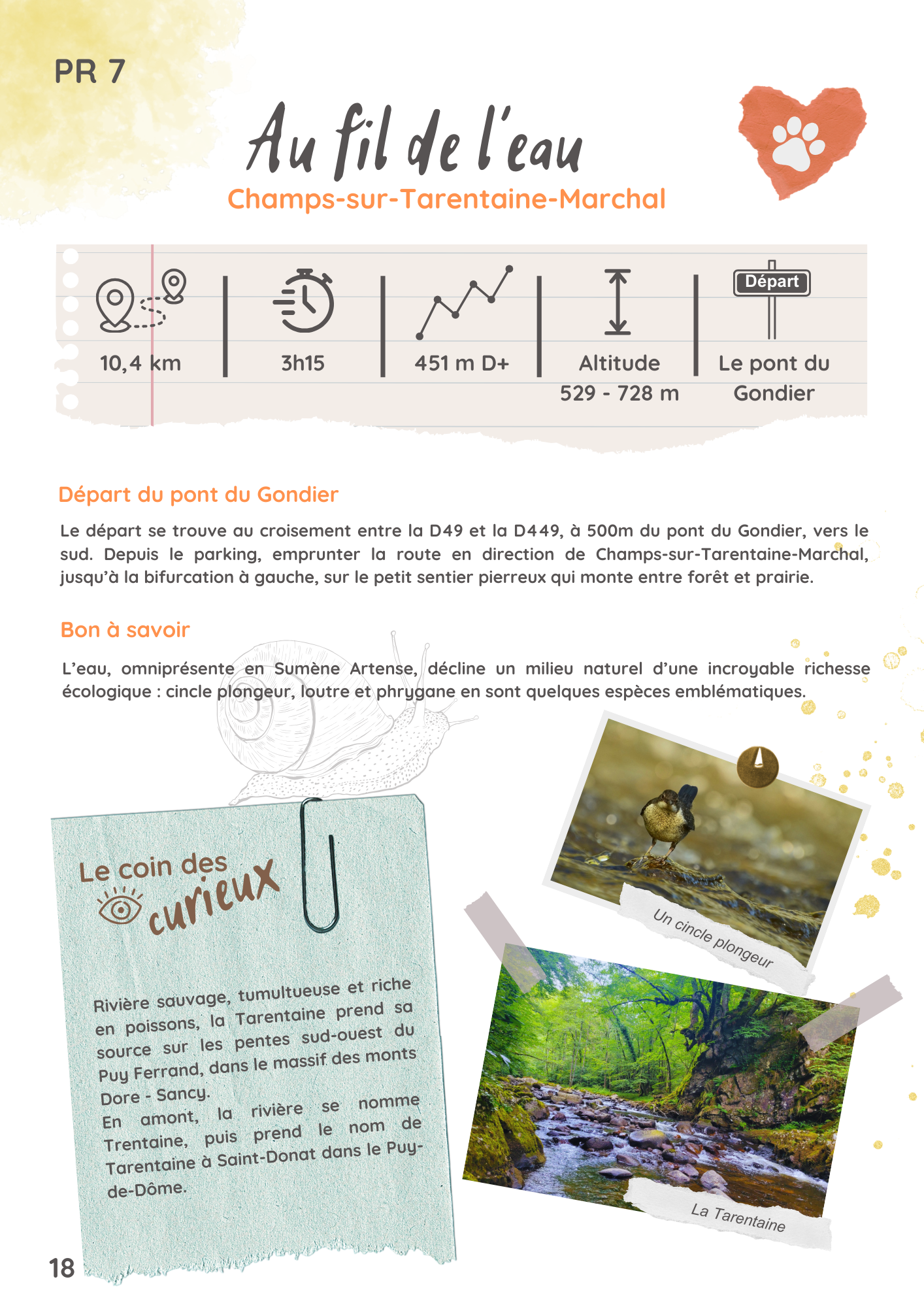
The river's natural environment is incredibly rich in ecological diversity: fario trout, dipper, otter and caddisfly are just some of the emblematic species.
Departure point: Pont du Gondier.
The start is at the junction of the D49 and D449, 500m south of the Pont du Gondier bridge.
From the parking lot, take the road towards Champs-sur-Tarentaine-Marchal, until it forks to the left, onto the small stony path that climbs between forest and meadow.
Itinerary
10.4 km
3h15
451 m
Yellow markings
Services
Facilities for the disabled :
Adapted tourism
- Not accessible in a wheelchair
Pets :
Pets welcome
Prices
Free access.
Further information
Location
Pont du Gondier
15270 Champs-sur-Tarentaine-Marchal
15270 Champs-sur-Tarentaine-Marchal
Things to doin the area
©
Crédits